The day we left San Ignacio the racers were still coming in on the road that passed the campground, so we booted it in the opposite direction to avoid getting in their way.
Once southbound on the #1 highway we were able to get a fix on where we would stay in Mulegé (pronounced moola-hay). Crossing through the Vizcainó Biosphere Reserve amid the lava rock and verdant slopes of the volcanic mountains known as Tres Virgenes, the lush green popped out of the otherwise desiccated desert landscape and caused you to imagine the torrential rain that occurred one month before during tropical storm Norma. Norma’s visit on Oct 23rd peaked with winds of 215 kph and dropped 480 mm of rain in places, wreaking havoc over a wide swath of BCS (Baja California Sur). She left roads broken, tangled and dysfunctional. The green we admired came (as is usually the case) at a huge cost for local folks that are still working hard to recover a semblance of normal life. We are grateful for their positivity, courtesy and hospitality.

The highway is narrow by Canada-US standards and anyone with the mildest amount of claustrophobia will have their nerves tested. But we read that the drop down from the mountains to the eastern gulf coastline was steep and winding. It was. And the road was in excellent shape!

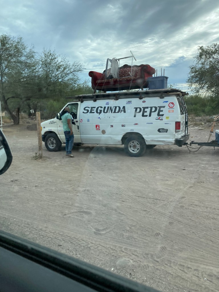
We rolled down to sealevel just north of Santa Rosalia with the view and smell of a massive smoldering garbage dump. High winds blow the garbage to the shoreline and it’s a very big disheartening mess. We are slowly becoming more accustomed to the roadside garbage strewn along our route. It’s prevalence (broken glass, plastic bottles, tires) throughout our trip through these deserts unfortunately or fortunately depending on your POV, makes the ground sparkle. The arrival on the outskirts of Santa Rosalia brought these sightings to a new level of ubiquitousness. We continued along the coastal highway past the copper mine that bore resemblance to an open wound, (ugh!), to a gas station beside an enormous dilapidated and defunct foundry. Googled it – you can go inside as a tourist attraction but watch out for homeless and dangerous rusted out passages… Google also brought me to a blog that talked about child and nearly slave labour in the Santa Rosalia squid factories. I didnt fact check it but the vibe was there for sure… Our first impressions of tropical Baja California Sur were being surpassed by human destruction, subjugation of vulnerable workers, and waste. As we continued to the south end of town, the vibe was much less wasteland. We got out of there! NEVER TRUST A FIRST IMPRESSION!! We later spoke with some sailors out of Victoria, BC, that said “stop on your way back!! The Eiffel Church and old downtown are fantastic.” So, we will report back on that on our way north!!
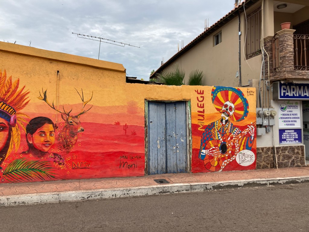
On to Mulegé. The plan was to go out to the lighthouse and meet Dave, a friend of Deb’s stepbrother. He winters in Baja and works as a paddle sport rep via Starlink. We pulled into the narrow streets that both Google and Garmin GPS told us to take and wound up at a blocked town square being readied for a 3-day festival.


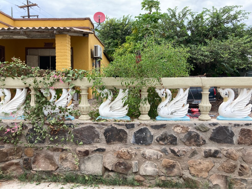
We managed to get out of there with less than 6 inches on either side of the truck and trailer and headed for a beach called Playa Santispac about 20 minutes further. We did drive back into Mulegé and get some water, gas and have a look around the town while the festival set up was under way. Very cute with some lovely architectural details.

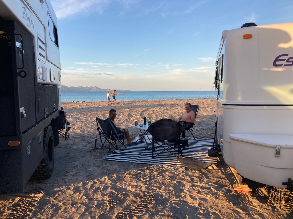
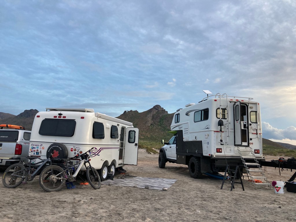
Playa Santispac is a busy little bay where busses bring guests to tour boats, where expats and Mexicans camp in enormous rigs or tents; hawkers renting kayaks, paddleboards, snorkeling gear, selling blankets and hats, plus fishermen selling fresh dorado, halibut, prawns, and scallops. It is busy! There are two restaurants, one with wifi. One restaurant is popular and the other has a less than positive reputation. We went for a beer at the busy one and watched one of the staffers jump in a car and race down the beach to get bottled water, ice and beer. So obviously they have a good relationship. Probably same owner!!
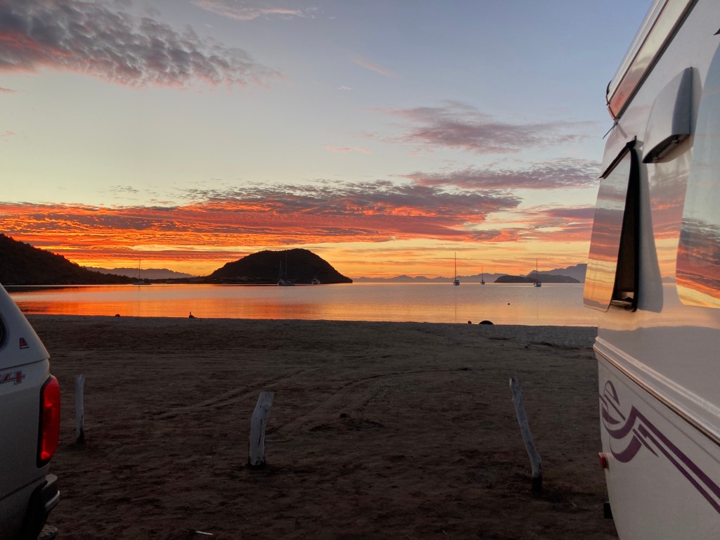
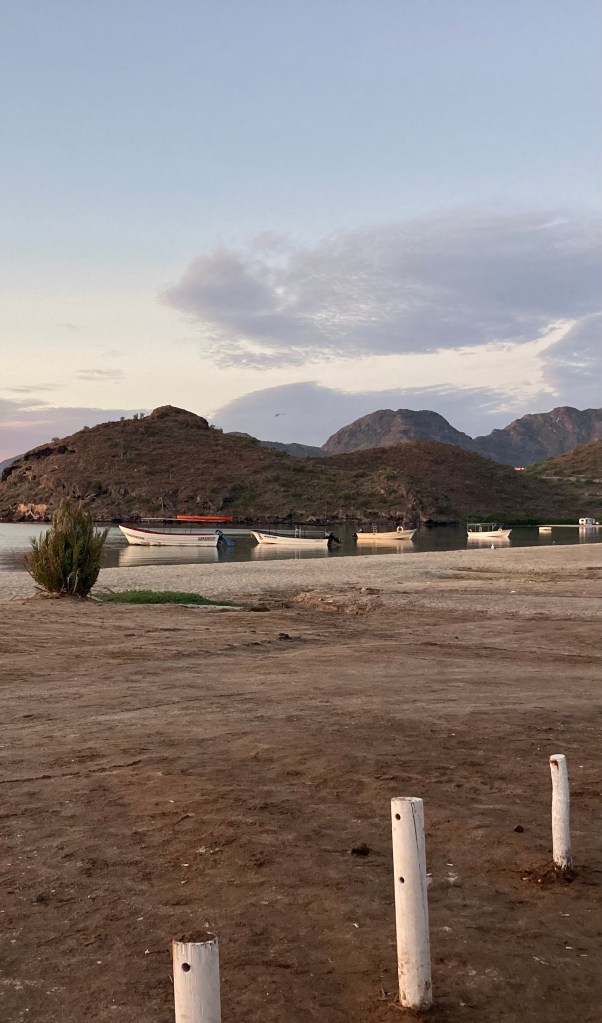
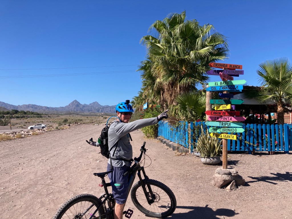
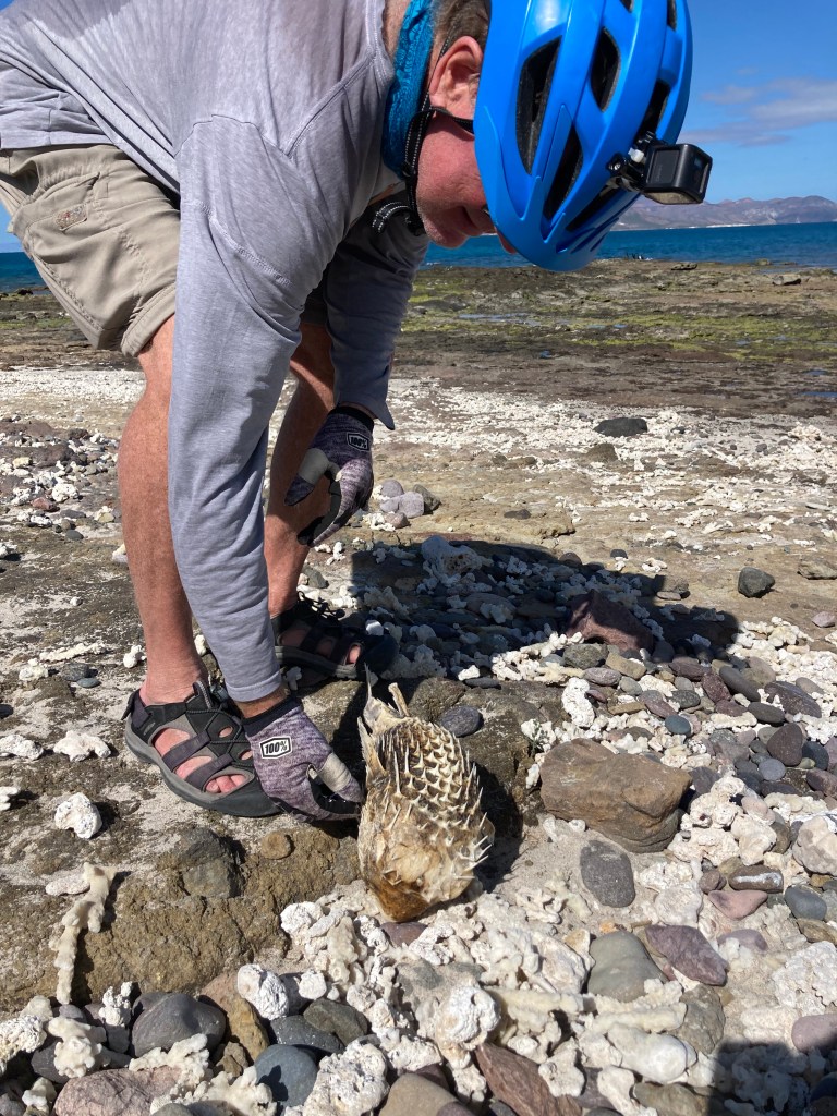
The beach at Santispac bustles but there is camping to the far ends of it that have a much calmer vibe and some people stay for months. It is sheltered yet around the northern cape the winds whip up and the water is surf worthy. We biked along some of the desert roads and were told that they go up into the nearby mountains where there are old pueblas and remains of settlers long gone.


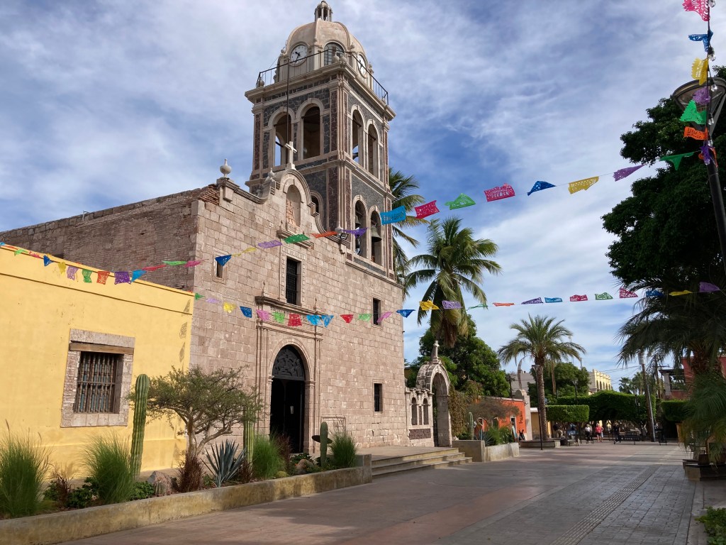
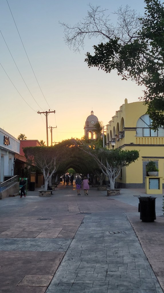
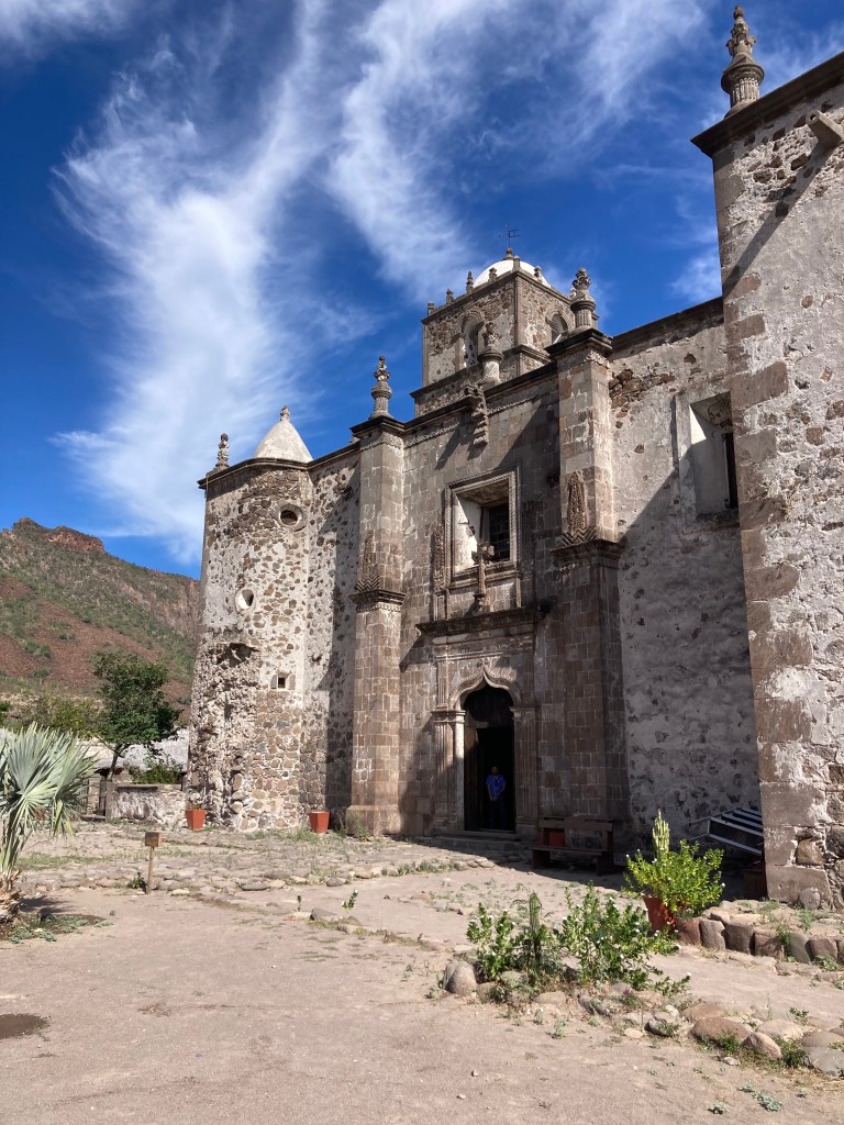
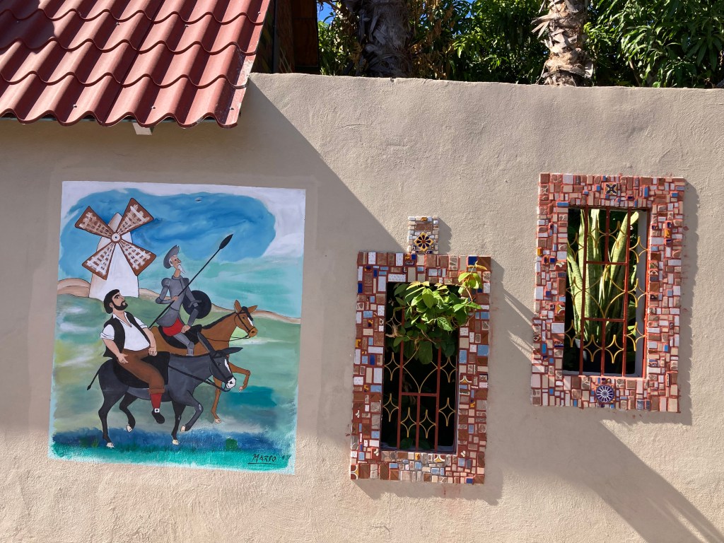
We stayed three nights and decided to head to Loreto. We booked in at Rivera del Mar. This highly recommended RV/campground park is in town and just a few blocks from everything. The Malecon along the waterfront has a mix of sand beach and waves crashing over rocks. The traffic-free old town area with its Jesuit mission dating back to 1697 and tolling bell tower remind one of the religious motivations of the first European Missionaries to make contact with a (mostly isolated) indigenous people. Accompanying this is a quaint, comfortable, open public square where laughing local children play and practice their bike riding, roller blading. This, with a backdrop of enticing, colourful shops and restaurants beckon. Loreto is charming! The rooster chorus and the rusty bells wake you up early.


While there we day tripped out to more treacherous areas without the trailer.
First stop over fully paved road was to the San Javier mission, about 40 kilometers into the mountains. This destination had running water over the road to pass through and a number of palm oases enroute. As with most of the missions along the Baja California El Camino Real, we found out that the Jesuits built them starting in the late 1600s, the Franciscans booted them, then the Dominicans moved in and continued the pilgrimage until Mexico was liberated from Spain. This is a very simplified historical synopsis that was presented in the museum in the San Javier church. The grounds close to the mission offered further evidence of early European influence with a majestically gnarled 300-year-old olive tree.


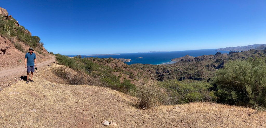
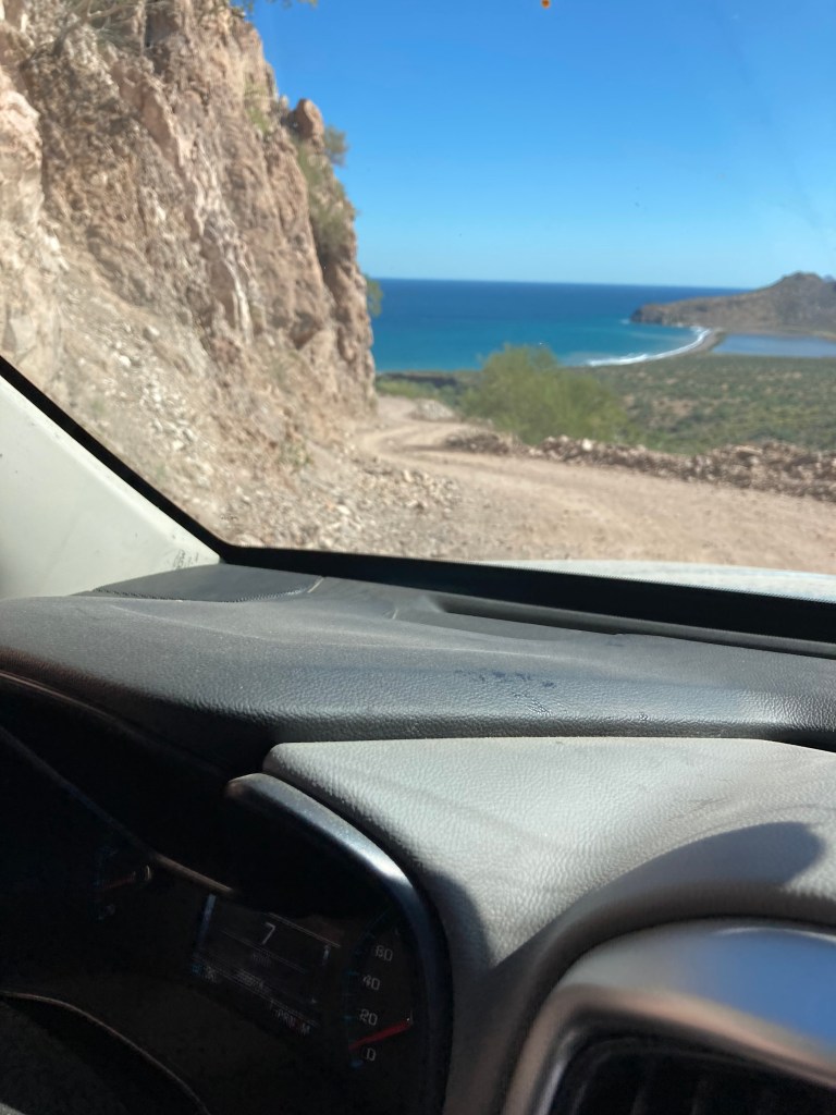
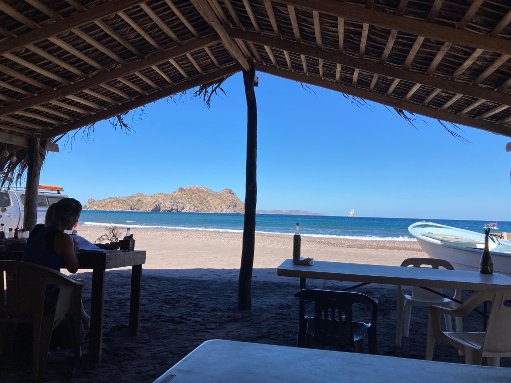
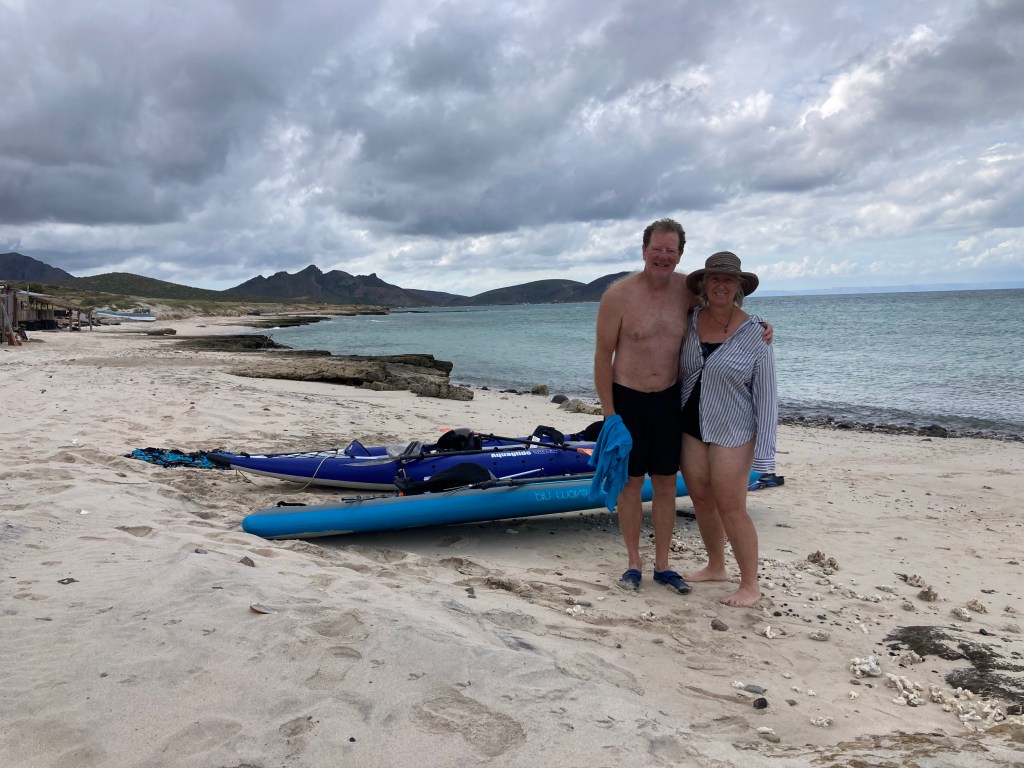
We also heard about a coastal village south of Loreto called Agua Verde. This village is a fishing village that boasts a spring and sheltered moorage for Gulf of California sailors. We read that it was a steep winding descent to the waterfront that would be a graveyard to anyone pulling a trailer. They were not wrong. Glorious views over the sea of Cortez helped the anxiety I shouldered while Albert concentrated a seemingly never-ending 3-4 hours drive down the narrow, hairpin, 12-18% grade of this access road. At the end is a restaurant…of course… and the blogs we had read explained that tourism is a particularly important source of income to the locals, so we had a couple of tacos while absorbing the beauty of this hidden gem. We spoke with a couple of Canadian sailors who stopped by the café for similar replenishment. They had just arrived and anchored in Agua Verde bay. Their boat stayed in the Baja over the summer in La Paz awaiting their return (a seemingly common practice in Baja by boaters and RV’ers). Our immersion in this paradise-like setting was hastened by the need to avoid driving the mentioned treacherous road in the dark, we headed back around 3pm.


While in Loreto we cycled to a camp spot near the airport along the beach. Free and recommended by some fellow travellers and iOverlander we scoped it out. Palapas were constructed along the sand road and there were garbage cans ready for any wayward waste. No one was camped so we decided we wouldn’t either. That old spidey sense of strength in numbers prevailed. About 2 k down the beach and hidden from view was a chichi resort town with a PGA golf course. Who knew!! We had a look at it on our way to Agua Verde. Very sterile but we understood how some would prefer this to our meanderings.


After four nights in Loreto, clean laundry, provisioned and water tanks full, we were headed south again. Dave, who we missed in Mulegé, was camped on the point beyond La Paz. We had a stopover at an organized RV spot at Palapa 206 along the highway in Ciudad Constitucion where we didn’t even unhook. The proprietor there was an expat Brit named Mike. He and his son had just completed the Baja 1000 in a Baja Bug. He regaled us on the British military Gurkha Reserve, over the centuries, soccer, and the merits of choosing Baja for relocation. Very entertaining pre-setup chat before we even parked in our designated campsite. We eventually parked, set up, slept after dinner a’ la trailer-side and never saw him again. We might just drop in on Mike and his Palapa 206 on our return north! No pics of his campground…or him…

Arriving into the outskirts of La Paz is busy. This port city has a Mexican population of about ¼ million, but the uncounted expats and tourists make up a huge amount of the actual population. Traffic is busy along 4 lane highways and one-way streets. ALTO (STOP) signs are hidden from view under trees, behind power poles or on both sides of the road so watching traffic flow is a sport often with the answer being whether or not the cross street has an ALTO sign. We bypassed town and headed for Playa El Tecolote. Paved all the way, passing many recovering restaurants destroyed by Norma. We also read reports that said it can be sandy, so we consulted Dave (who we missed in Mulegé) to tell us the real story; not wanting to be stuck in the sand on the beach. All good!!

Our 3-night stay at Playa El Tecolote included swimming, snorkeling, beachcombing, bike riding, and paddling. We took an afternoon and went to La Paz and wandered the beautiful Malecon, got water, food, and fuel as we were leaving the next day.


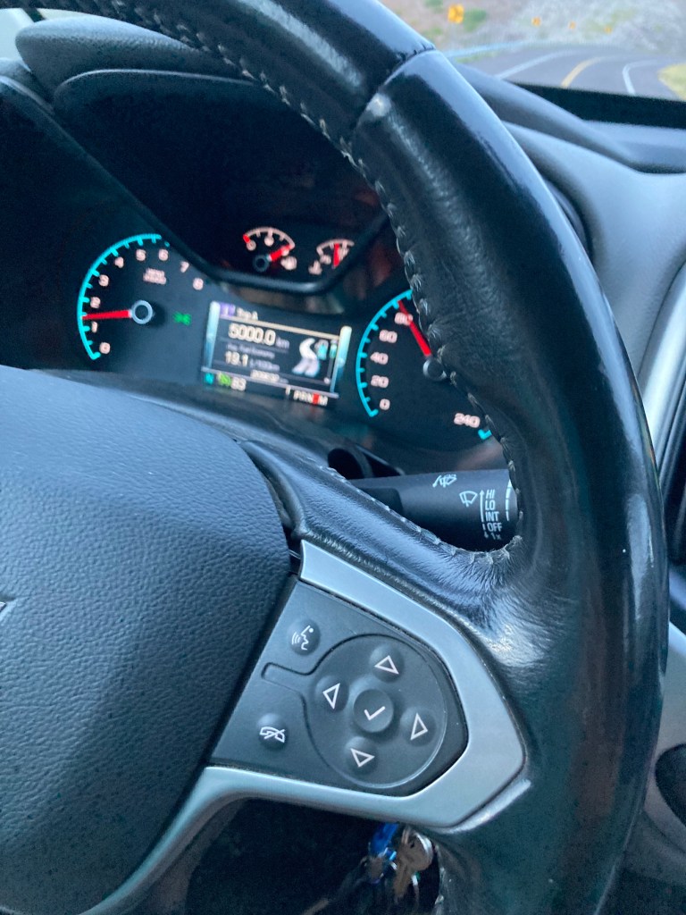

While on our day trip to La Paz on November 26 our trip odometer reached 5000k since October 25. We are on the move to Los Barriles and a week with hook up. We will probably never get the El Tecolote sand out of our hair or our rig but we need some souvenirs… Stay tuned.
